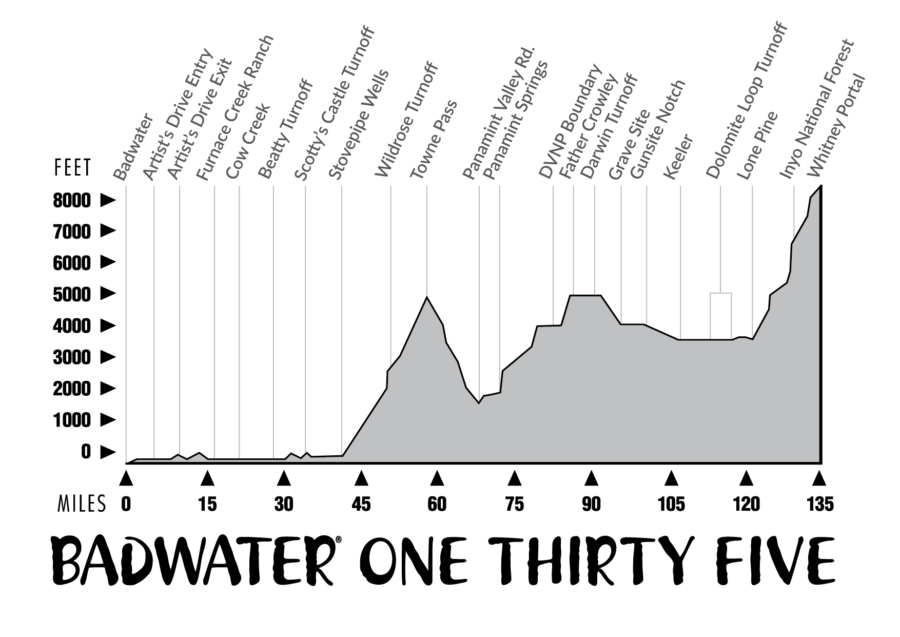
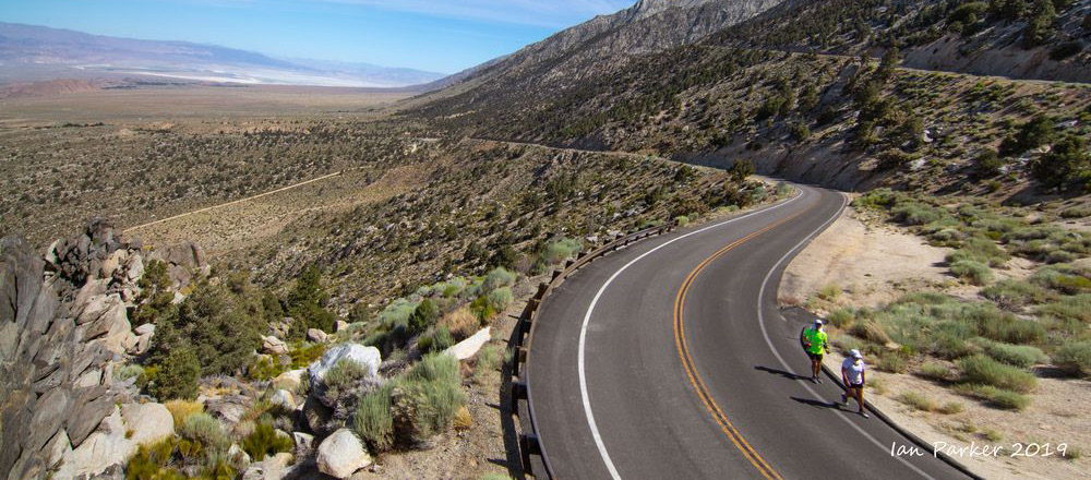

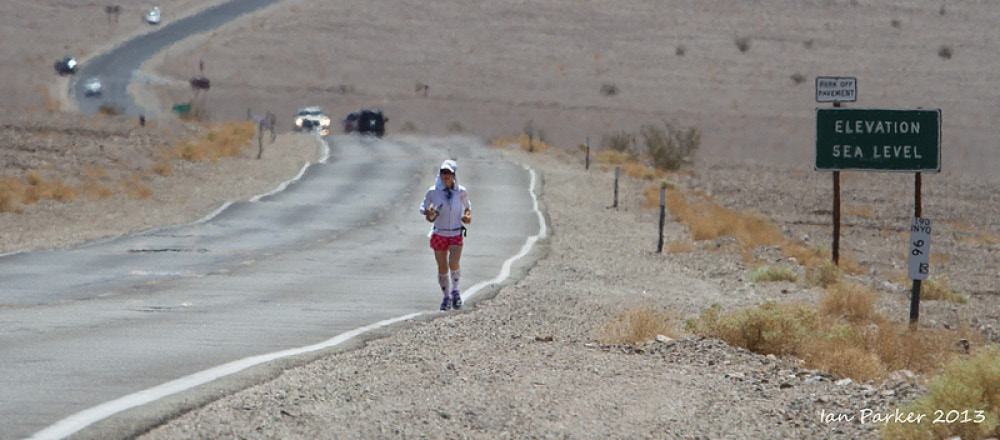
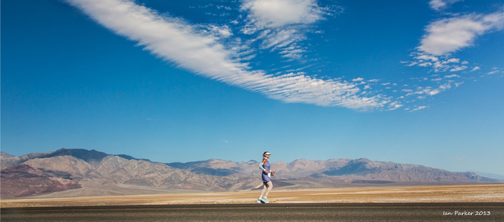
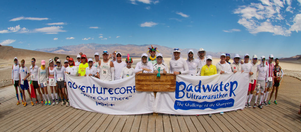
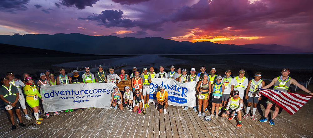
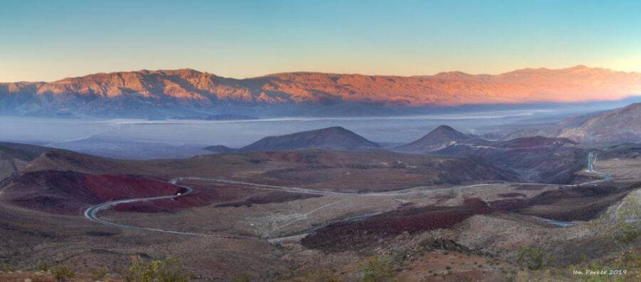
Covering 135 miles (217km) non-stop from Death Valley* to Mt. Whitney, CA, the Badwater® 135 is the most demanding and extreme running race offered anywhere on the planet. The start line is at Badwater Basin, Death Valley, which marks the lowest elevation in North America at 282’ (85.5m) below sea level. The race finishes at Whitney Portal at 8,360’ (2548m). The Badwater 135 course covers three mountain ranges for a total of 14,600’ (4450m) of cumulative vertical ascent and 6,100’ (1859m) of cumulative descent. (Details below.)
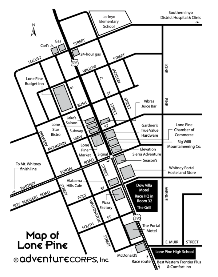
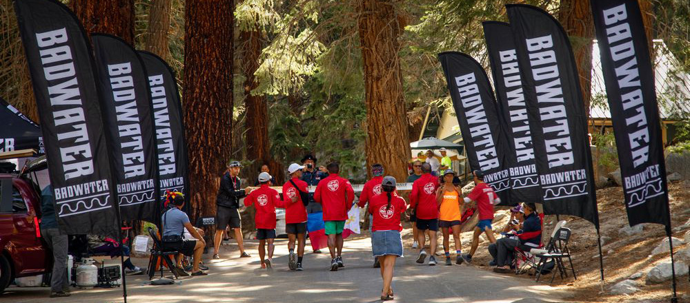
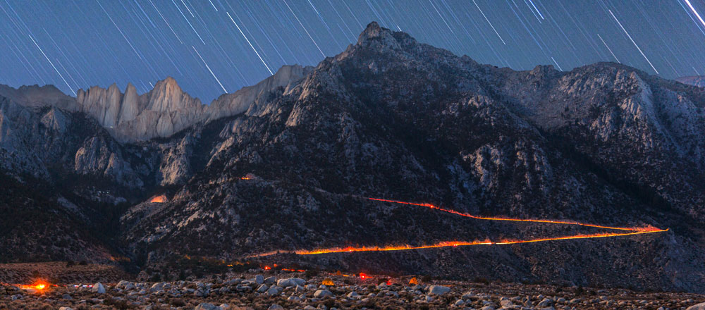
The Whitney Portal finish line is the trailhead to the Mt. Whitney summit, the highest point in the contiguous United States. Competitors travel through places or landmarks with names like Mushroom Rock, Furnace Creek, Salt Creek, Devil’s Cornfield, Devil’s Golf Course, Stovepipe Wells, Panamint Springs, Darwin, Keeler, Alabama Hills, and Lone Pine.
*The ancient and still current Native American name for “Death Valley” is Tüpippüh. Learn more here and here.
See Tabs above for more route information, plus here are useful PDF downloads:
2024 Badwater 135 Race Route (12-page PDF)
Directions to Furnace Creek from Southern California and Las Vegas
NEVER USE A GPS TO NAVIGATE TO DEATH VALLEY!
2022 Google Map of Route with most Landmarks (This requires cell service to work, so download Maps.me if you want to use it on the race route)
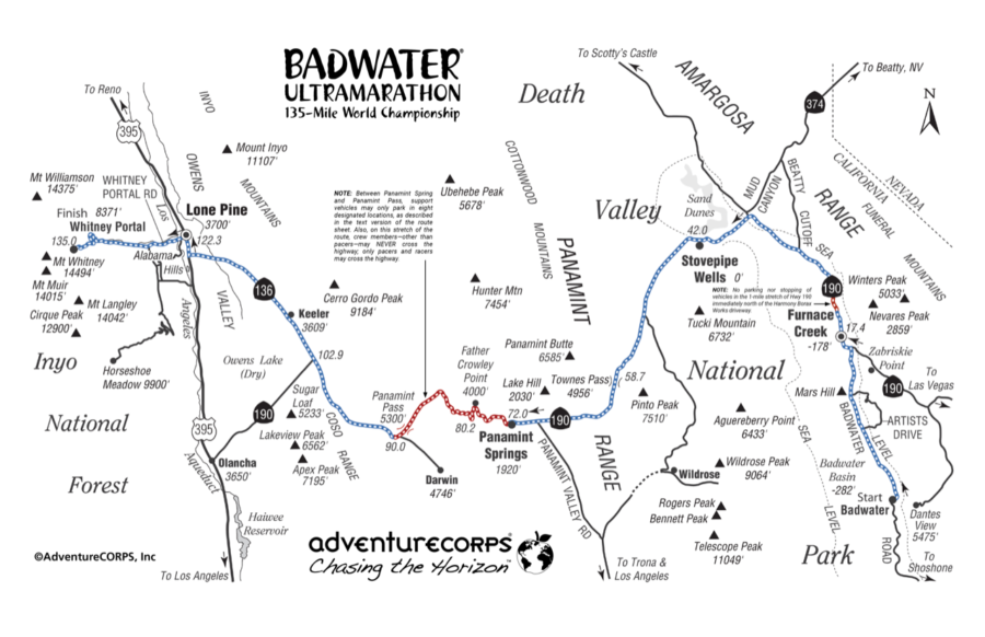
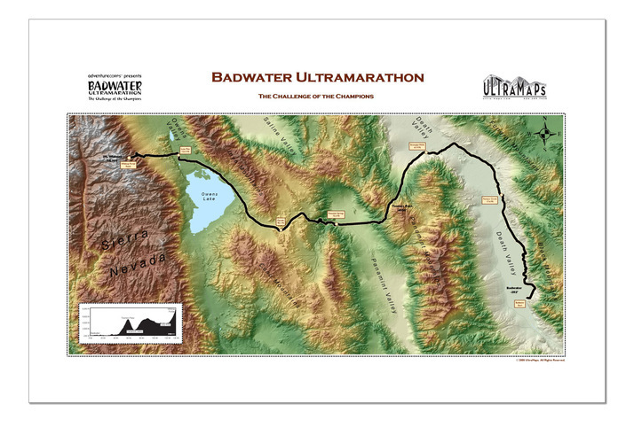
Details of the three mountain ascents along the route:
• Towne Pass, mile 42.2 to 58.9: 4956 foot gain over 16.7 miles = 5.6% average
• Father Crowley, mile 72.8 to 80.8: 2000 foot gain over 8 miles = 4.5% average. (Followed by a gradual 1000 foot gain over the next 10 miles)
• Whitney Portal, mile 122.8 to 135: 4750 foot gain over 12.2 miles = 7.4% average. (Final mile is the steepest.)